You've found a crag, you're standing at its base, and the guidebook is covered in lines, numbers and cryptic symbols. A topo is the picture map of a climbing route. Once you can read one, that mess turns into a plan: where the line goes, what to take, and how you get down. It looks harder than it is.
What a topo actually shows
A topo is a diagram of the rock face with each route drawn as a line. From it you can see the path the route takes, where the bolts or gear placements are, where belays sit, and how to get off at the top. Combined with the written description, that is almost everything you need before you tie in.
On most sport topos, bolts are small dots or circles along the line. The belay or lower-off is a different mark, often a double ring, an R, or a thicker symbol at the end of the pitch. Do not mix them up: the dots are what you clip on the way up; the end mark is what you use to come down.
The key information for every route
- The grade: how hard the route is. Scales differ by country; the climbing grades overview helps you compare them.
- The length: usually in metres, which tells you what rope you need. If you are unsure about rope care, see how to wash, store and inspect your climbing rope.
- The number of bolts or quickdraws: count them, then bring that many draws plus two spare for the anchor and anything odd on the pitch.
- The style: sport, trad, or mixed.
- The descent: lower-off, walk-off, or rappel. Read this before you leave the ground.
Common symbols you'll see
Topos use a visual shorthand: dots or circles for bolts, a particular mark for belay stations and anchors, arrows for the direction of travel, and symbols for features like roofs, cracks, chimneys and slabs. Most guidebooks put a legend at the front. Read it once; after a few crags the symbols stick.
Reading the approach and descent
Half of route-finding happens before you climb: getting to the base. Guidebooks describe the approach and, just as important, the descent. Always know how you are getting down before you leave the ground. Getting stuck at the top with no plan is a classic, avoidable mistake. If the topo only says "rappel" or "walk off", check the length of the rappel and whether you need a second rope.
Digital topos make it easier
Online databases add something a paper book cannot keep up with: recent community notes. Other climbers flag rebolted routes, loose rock, polished holds and current access rules.
A concrete example on climbing.place is Hakenroute (5+) at Eppenberg: grade, rope length and location on one page. Or browse more route topos →
Learn the symbols once, and the next time you open a guidebook at a new crag the wall will make more sense.
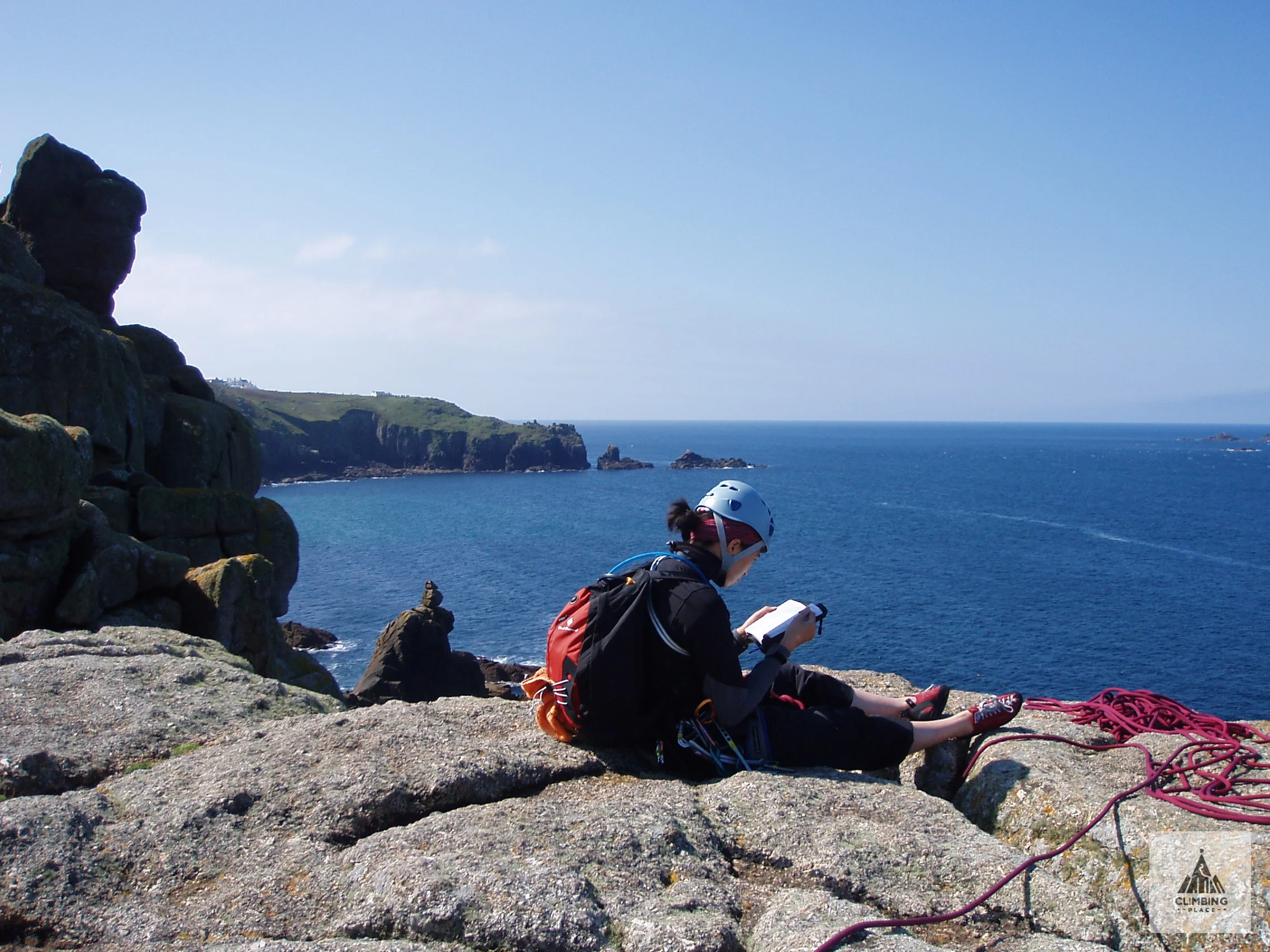
Photo: Elson / Wikimedia Commons, CC BY-SA 2.0.